The payment is encrypted and
No Booking Fee
No Cancellation Fee
Do not hesitate to give us a call, WhatsApp or email us. We are always there to help you to make your tour safe and entertaining.
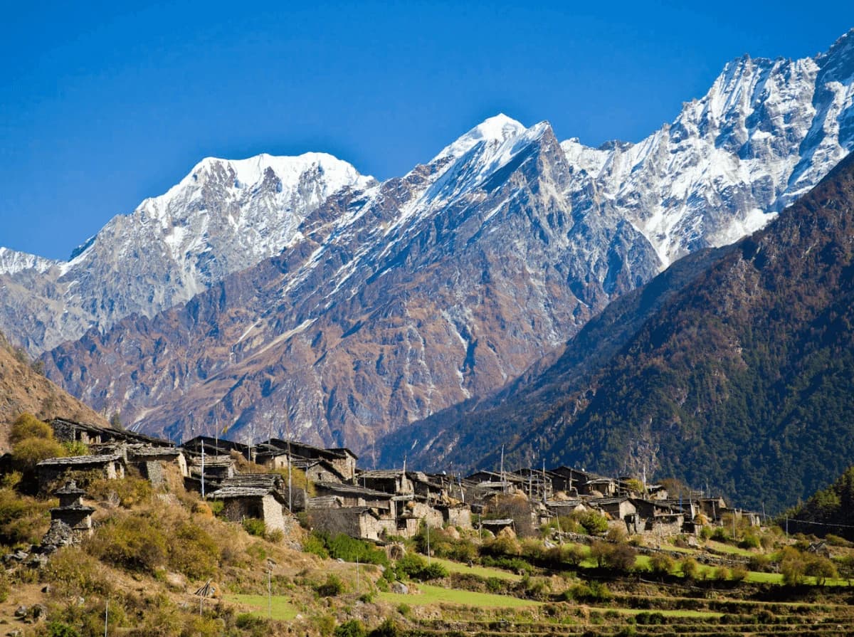
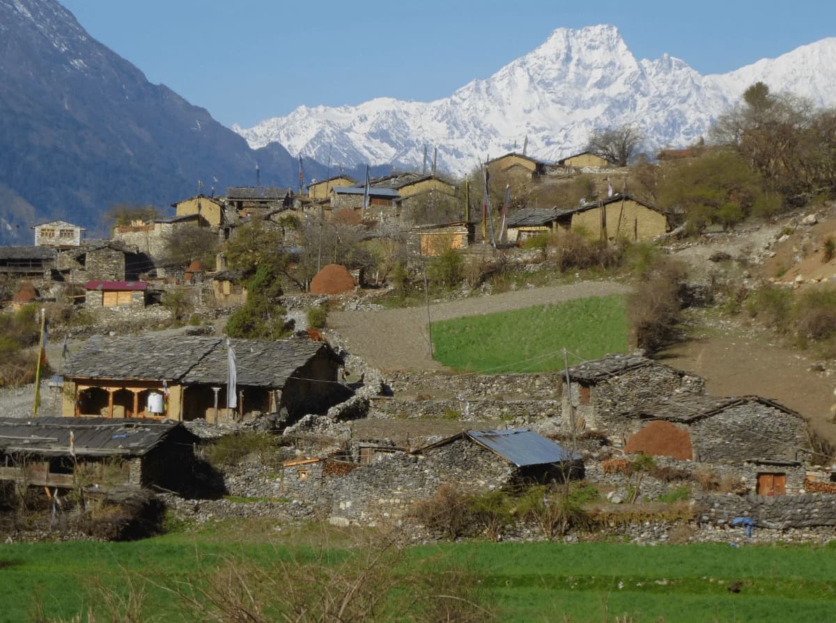
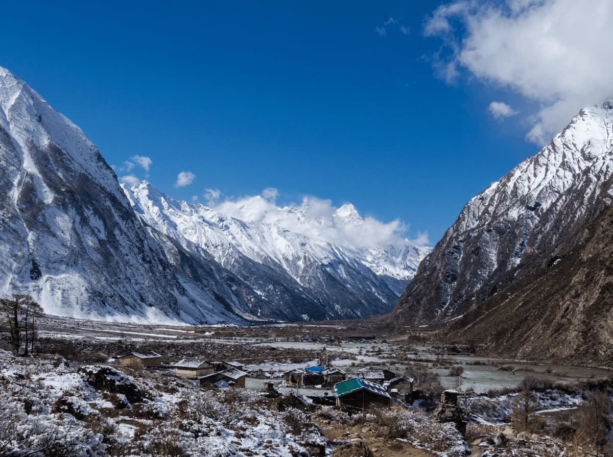
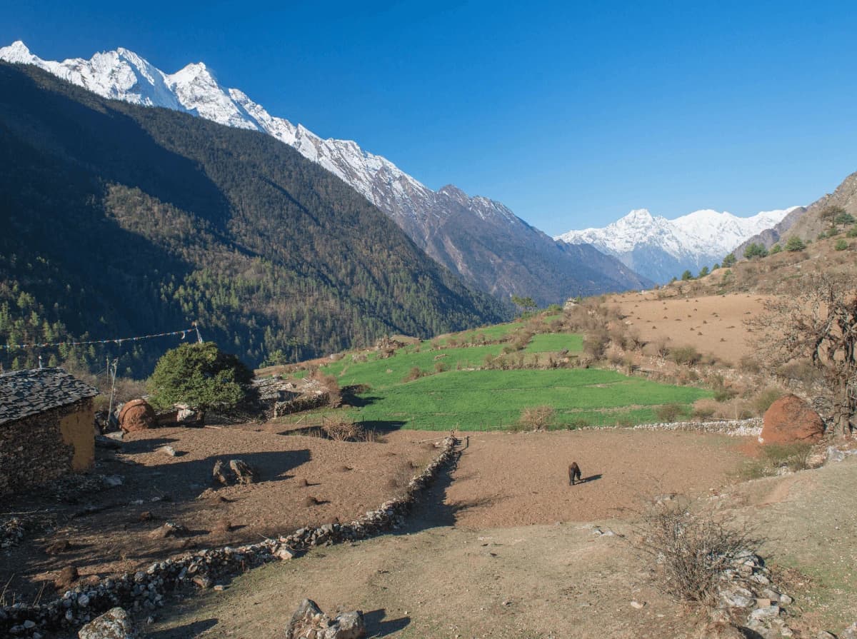
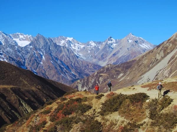
The Tsum Valley Trek in Nepal was a relatively new and less-visited trekking route in the Himalayan region. However, It offered a unique cultural and natural experience for trekkers. Also, Tsum Valley Trek is one of the most isolated, remote, and glorious treks in Nepal, opened in 2008 for trekking, this trail takes you on a sacred Himalayan Buddhist pilgrimage valley in the northern part of the Gorkha District.
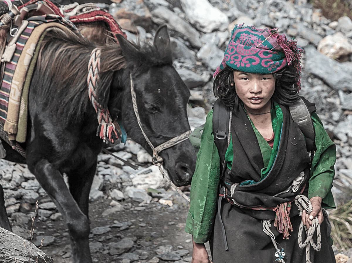
Tsum Valley is one of the world’s remote Himalayan valleys and was a restricted area until 2008, making it one of the less exposed destinations with off-beaten, raw, and untouched trails, making it a perfect destination to learn and explore the true lives of Himalayan people and the raw nature.
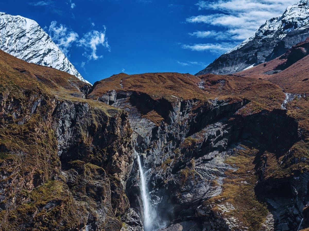
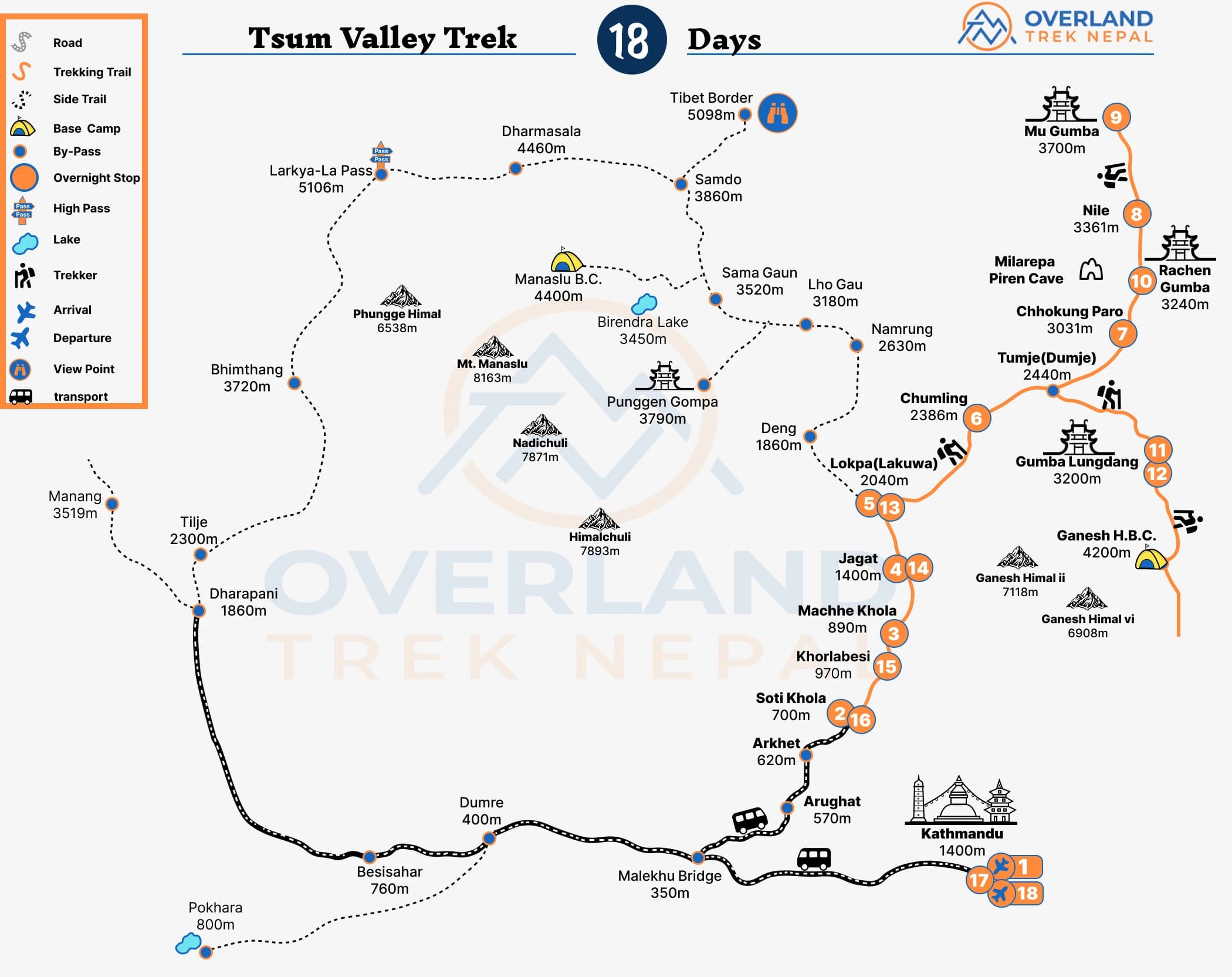
Tsum (Tsum TSO Chuksum) sits in the background of the Ganesh Himal, Sringi Himal, and Buddha Himal Ranges and this Himalayan valley is rich in ancient art culture. The Tsum Valley lies on the northern part of Manaslu and holds a great part of history, ancient monasteries of Rachen Gompa and Mu Gompa are nestled on a plateau nestled in the lap of the valley, and Gompa Lungdang is situated at the base of a cliff against the backdrops of Ganesh Himal. Tsum Valley Trek starts from Kathmandu to Arughat, from Arughat you will start your trek traversing various terrain and climates to the Tsum Valley.
Overland Trek Nepal is one of the best trekking agencies that could have organized trips to this region. However, Overland Trek Nepal’s services or the current status of the Tsum Valley Trek as of 2023 is one of the best In Nepal.
Our office representative will meet you at the airport and escort you to the hotel after you check in head out or rest. Later in the evening join in for a short brief about the trek and have an introduction with your guide then he will check all the trekking equipment that is required. Then in the evening will go to have a welcome dinner in Thakal Restaurant to have a typical Nepali Thali set which will be a different test for you.
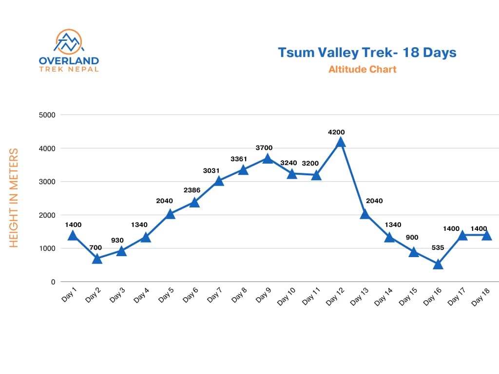
Maximum Altitude: – 1400 m
Accommodation:- Hotel
Meal: – Welcome Dinner
After an early morning breakfast begin our trip to Arughat and towards Soti Khola, through the winding roads of Prithvi Highway, passing through beautiful settlements, rolling hills, raging rivers, and mountain views of Manaslu and Ganesh Himal range. Arughat is a large settlement, clustered on both sides of the Budhi Gandaki River connected by a suspension bridge, from here you’ll have to travel around two hours to reach Soti Khola. Overnight at Seti Khola Those
Maximum Altitude: – 730 m
Walking Distance: 6-8 hours
Meals: Breakfast, Lunch, and Dinner
Accommodation: Teahouse
Today begin your trek to Machha Khola, after an early breakfast, at first you’ll be crossing the Soti Khola, then ascending through beautiful Sal forest, and onto a ridge above the raging Budhi Gandaki river on the way to the settlement of Liding (750m) from here head towards Khursane, a small settlement with magnificent views, follow the trail and head towards Lapubesi from here follow down the sandy river bed of the Budhi Gandaki and descend towards Nauli Khola crossing a suspension bridge and eventually arriving at Machhe Khola.
Maximum Altitude: – 890 m
Walking Distance: 6-7 hours
Meals: Breakfast, Lunch, and Dinner
Accommodation: Teahouse
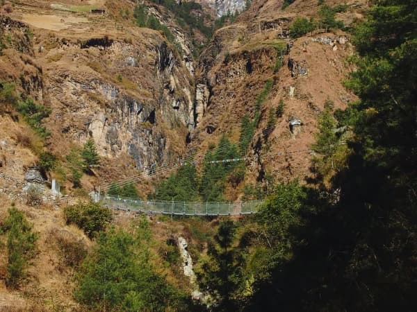
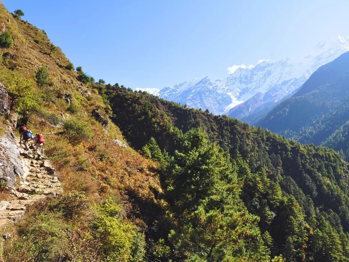
After early morning breakfast, head towards the trail cross the Tharo Khola, and ascend towards Khorlabesi, from here after a short walk you’ll reach Tatopani a Himalayan hot water spring, continue the trek ascending over a ridge then cross the Budhi Gandaki River via a suspension bridge and head towards Doban, from here follow the stairs towards Yaru Khola, Tharo Bharyang and finally to Jagat on the west part of the Budhi Gandaki River.
Maximum Altitude: – 1400 m
Walking Distance: 6-7 hours
Meals: Breakfast, Lunch, and Dinner
Accommodation: Teahouse
Today you’ll be reaching the ancient settlement of Lokpa, you’ll need to get your permits checked at the Manaslu Tsum Valley checkpoint, after the permits are checked ascend towards Phillip crossing a long wide suspension bridge, and from here trek past Ekle Bhatti, here the trail separates between Tsum and Manaslu, follow the trail towards Tsum passing various settlements and crossing number of rivers and you’ll finally arrive at the settlement of Lokpa, the first village in the Tsum valley.
Maximum Altitude: – 2,040 m
Walking Distance: 6-7 hours
Meals: Breakfast, Lunch, and Dinner
Accommodation: Teahouse
After an early breakfast head onto the trail, the trail today takes you deep into the wild Tsum valley with views of Boudha Himal (6,672m) and Ganesh Himal on the backdrop, the route descends towards Lungwa River and Gumling, from here you’ll cross Syar Khola and arrive in the village of Chumling. The settlement of Chumling has various Gompa that you may visit, Panago Gompa, Mani Dhungyur, Gurwa Gompa, or some of the renowned Gompa of the region.
Maximum Altitude: – 2,386 m
Walking Distance: 5-6 hours
Meals: Breakfast, Lunch, and Dinner
Accommodation: Teahouse
The destination for today is Chhokang Paro, located in the upper Tsum valley, a settlement situated on flat land and consisting of two villages Chhokang and Paro. The trail today passes through several suspension bridges with views of Ganesh Himal, Boudha Himal, and Himalchuli peaks, passing by the settlements of Rainjam, Gho, and finally an uphill trek to the village of Chhokanparo.
Maximum Altitude: – 3,031 m
Walking Distance: 5-6 hours
Meals: Breakfast, Lunch, and Dinner
Accommodation: Teahouse
Today you’ll be traveling to the village of the Nile located on the western side of the valley and is the last settlement in the upper Tsum Valley, trek on the bank of Shiar and pass by Piren Phu cave also known as the pigeon cave, this cave is regarded as one of the sacred caves in the Tsum Valley and sits at the foot of a rugged cliff near the village of Burji, from here you’ll be walking high green meadows and pasture lands towards the settlement of Nile.
Maximum Altitude: – 3,361 m
Walking Distance: 4-5 hours
Meals: Breakfast, Lunch, and Dinner
Accommodation: Teahouse
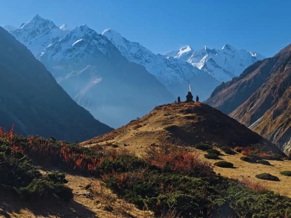
Followed by an early morning breakfast, head out of the Nile and ascend towards Mu Gompa, the largest monastery in the region. Mu Gompa is located at the highest and the farthest point in the Tsum Valley. It was established in 1895 AD and includes many religious books including Kangyur, a life-size statue of Avalokiteshwara, and images of Guru Padmasambhava and Tara. The route takes you through yak pastures and dry Trans Himalayan Terrain., the monastery has several Chortens dotted along the trail with a backdrop of beautiful mountain ranges. The historical Dephyudonma monastery on the lap of the rugged mountains is one of the oldest monasteries in the Tsum Valley.
Maximum Altitude: – 4,060 m
Walking Distance: 3-4 hours
Meals: Breakfast, Lunch, and Dinner
Accommodation: Teahouse
Shortly after breakfast, head from Mu Gompa to Rechen Gompa a nunnery situated in the Shiar Khola Valley in the foothills of the mountains that border Nepal and Tibet, the trail takes you past Chhule and down to Phurba, on the eastern bank of the Siyar Khola and crossing flat boulder-covered plains following the power lines to Rachen Gompa. Rachen Gompa was established in the year 1905 AD and is one of the largest nunneries in the Tsum Valley. Explore the Gompa and learn about the culture and lifestyle of the mountain people.
Maximum Altitude: – 3,700 m
Walking Distance: 3-4 hours
Meals: Breakfast, Lunch, and Dinner
Accommodation: Teahouse
After an early breakfast head towards the trail, you’ll cross a bridge and reach the settlement of Chhokangparo, from here descend down the old trail towards Chumling and reach the village of Gho (2,458m), descend down a narrow trail that passes through a Gompa then onto a wooden bridge over the Siyar Khola, you’ll cross A bridge to Domje, where a Tibetan herbal medicine clinic and a school is located, further ascend through pine, juniper, and rhododendron forest, to Gumba Lungdang.
Maximum Altitude: – 3,240 m
Walking Distance: 5-6 hours
Meals: Breakfast, Lunch, and Dinner
Accommodation: Teahouse
Start early today as you’ll be trekking to the Ganesh Himal Base camp.
The route crosses through two small valleys dropping on the muddy meanders, thick and dense forest, small pasture, and raging rivers, cross multiple suspension bridges and reach Landang Khola on the west bank of the river, here ascend through tree line before reaching Kharka and towards Torogumba Glacier, continue ascending, and in a couple of hours, you’ll reach the Ganesh Himal Base Camp. After spending a brief time at the base camp head back to Gumba Lugdang.
Maximum Altitude: – 4,200 m
Walking Distance: 7-8 hours
Meals: Breakfast, Lunch, and Dinner
Accommodation: Teahouse
After an early breakfast head to the trail, you’ll descend to Domje crossing the Laudang Khola towards Domje, and ascend on the southern bank of the Siyar Khola and onto the settlement of Ripche (2,470m), from here walk down the stairs to the Bhatti Ghumlong and ascend to Lokpa.
Maximum Altitude: – 3,200 m
Walking Distance: 6-7 hours
Meals: Breakfast, Lunch, and Dinner
Accommodation: Teahouse
Today you’ll descend to Jagat, towards the Budhi Gandaki River, you’ll trek through the sub-tropical forest with Himalayan giants on the backdrop to Sirdibas, and finally towards Jagat.
Maximum Altitude: – 2,040 m
Walking Distance: 6-7 hours
Meals: Breakfast, Lunch, and Dinner
Accommodation: Teahouse
After early morning breakfast, you’ll be descending to Lapu Bensi, trekking down to Machhe Khola you’ll cross a suspension bridge over the Nauli Khola, from here walk along the sandy river bed of the Budhi Gandaki, and you’ll finally settle Lapu Bensi.
Maximum Altitude: – 1,400 m
Walking Distance: 7-8 hours
Meals: Breakfast, Lunch, and Dinner
Accommodation: Teahouse
Today’s trek is short, so after breakfast head back to Arughat Bazaar, following the Budhi Gandaki river to Soti Khola, from Soti Khola you’ll be taking a jeep to Arughat Bazaar, and after a couple of hours of drive, you’ll reach the Arughat Bazaar. Explore the settlement after taking a rest.
Maximum Altitude: – 9,00 m
Walking Distance: 4-5 hours
Meals: Breakfast, Lunch, and Dinner
Accommodation: Teahouse
Followed by an early morning breakfast, you’ll be driving back to Kathmandu, the drive takes you through Trishuli River via the Prithivi Highway.
In the evening, a special cultural program and a farewell dinner will be served to commemorate the end of your journey.
Maximum Altitude: 1400m
Duration: 7-8 hours
Meals: Breakfast & Dinner
Accommodation: Hotel in Kathmandu
Our staff will drop you off at the airport, you’ll bid farewell to your newfound friends as well as Nepal.
NOTE: All of the trekking hours and distances mentioned above are estimates and should only be used as a general guideline.
Spring (March to May) and autumn (mid-September to November) are the best times to trek to Tsum Valley Trek. In spring, the foothills are ablaze with wildflowers, rhododendron blossoms, and orchids hanging from branches, the weather is dry and clear during this season, making it ideal for trekking and exploring the breathtaking scenery of the mountains. In autumn after the end of the heavy monsoon season, with a clear atmosphere and the days are warm though the evenings are quite chilly trekking to Tsum Valley Trek. is extremely popular.
In popular trekking regions such as Annapurna, Everest, Langtang, and Manaslu, there is a menu system with various ethnic cuisines foods as well as western meals, but some locations provide you with typical Nepali meals which are different from international meals, and these meals are prepared by the local supplement, every tourist lodge and tea house has a well-trained cook who focuses on clean, hygienic, fresh, and delicious foods, and every lodge has safe drinking water or mineral water.
If you buy a water purification tablet in Kathmandu, you can take water tap water and purify it yourself, saving money and reducing plastic pollution.
Travel insurance is required for all clients participating in any activity. We strongly advise you to obtain a complete insurance plan from a reputable insurance company to cover personal injury, death, hospital expenses, repatriation fees, helicopter rescue, and any other disease covered by the insurance plan.
The Nepalese consulate in your country or the immigration office at Tribhuvan International Airport in Kathmandu must issue each client with a valid visa with a six-month validity from the date of return.
The Tsum Valley Trek typically takes around 17-20 days, covering both the Tsum Valley and Manaslu Circuit. The best time to visit is during the spring (March to May) and autumn (September to November) when the weather is clear, and the views are stunning.
Yes, a special restricted area permit is required for the Tsum Valley Trek, as it is located in a restricted region. In addition to the Manaslu Conservation Area Permit (MCAP), you’ll need a Tsum Valley Restricted Area Permit (RAP) to undertake this trek.
The Tsum Valley Trek is considered a challenging trek, and trekkers should be in good physical condition. Prior trekking experience at high altitudes is recommended. The trail includes steep ascents, descents, and high mountain passes, reaching altitudes above 5,000 meters (16,400 feet).
Teahouses and lodges are available along the Tsum Valley Trek route, providing basic accommodation and meals. Camping is generally not necessary, making it more accessible for trekkers. However, it’s advisable to check the availability of accommodations in advance during peak trekking seasons.